
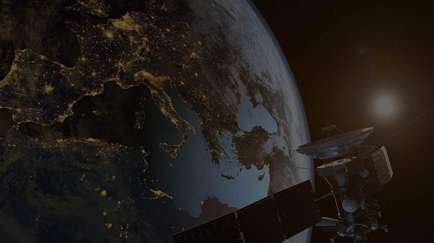
Innovation in satellite imagery has changed the way we observe the Earth and how we process and analyze the voluminous data now available.
Scientists and engineers began gathering detailed images of the Earth back in the 1960s, starting with low-resolution images of land and water boundaries to explore the Earth’s resources. Over time, they developed satellites with the capability to deliver high-quality imagery that delivered insights about weather patterns, human geography, agricultural production, environmental impacts, natural disasters and more. Today, the industry is in a continual state of innovation, exploring new ways to view the Earth from space in real-time to inform action.
First Satellite Image
In 1960, NASA launched the first in a series of early weather satellites known as the Television Infrared Observation Satellites (TIROS) missions. TIROS-1 delivered the first satellite image of the Earth and proved that satellites could be effective in observing the planet and predicting changes. Revolutionary at the time, the images were made by combining hundreds to thousands of individual photos and could only observe land, water, and cloud boundaries. This led to modern weather forecasting, but the full potential of satellites was far from realized.
Earth Observation Satellites
Next came the Landsat 1 mission in 1972, the first satellite to meet all requirements for global land observation. Landsat 1 was also the first satellite with a multispectral scanner (MSS), which returned data that was digitally processed to better understand the Earth’s resources. With this mission, scientists, and engineers showed great progress in satellite imagery by advancing the underlying software.
SAR (Synthetic Aperture Radar)
Satellite imagery began to improve in resolution with the deployment of the first synthetic aperture radar (SAR) sensors as part of the Seasat mission in 1978. SAR satellites were a major development because they did not require light from the sun. By using microwaves and radio waves to detect physical properties of the land, SAR satellites delivered 25m resolution L-band images of the Earth in previously non-ideal conditions such as nighttime, cloud, or smoke cover.
Pushbroom Scanners
In 1986, France deployed the Satellite pour l’Observation de la Terre (SPOT). This satellite brought the first 10m resolution panchromatic images using sensors sensitive to all visible colors. SPOT 1 also included the development of pushbroom scanners , which eliminated moving mechanical parts to speed up the imaging process. These linear array sensors scanned a line perpendicular to the flight trajectory, simultaneously creating a full image as the satellite continued its path. Another breakthrough, SPOT 1 was the first satellite capable of 3D observation.
Forefront of Geospatial Mapping
The next series of satellites, developed from roughly 1997 to 2010, were defined by high-resolution and hyperspectral imaging to generate an image instantaneously with a resolution of 1m or less. The early work of scientists and engineers paved the way for geospatial mapping of physical locations and the study of how human behavior affects the Earth using geospatial data. The rate of innovation has increased rapidly, with satellites becoming smaller and more cost effective. With all the images satellites sent back to the Earth, we began improving the ways we interpreted the geographic data using artificial intelligence (AI) and machine learning (ML).
Real-Time Satellite Images
As satellites continued to rapidly improve, so too did our understanding of the Earth and the forces that change it. Technological advancements, durable components and design improvements kept satellites in space longer. Today, satellite launches are commonplace, and we are inundated with images of the Earth from space. Next-generation satellites now offer on-demand, real-time images of the planet, as well as data and analytics to predict and plan for how it will change. These satellites can be easily directed to a specific location to gather data, using AI-powered automation to detect changes to the Earth’s surface and update maps in an instant.
Organizations across the public and private sectors contract satellite monitoring services for a variety of use cases, including utility observation, insurance fraud, agricultural mapping, climate change, construction planning and more. As the development of satellites continues to advance, the number of real-world applications for high-quality satellite imagery of the Earth and advanced data analytics about its changes will grow for the betterment of us all.