Space-based intelligence at the speed of conflict.
Real-time, AI-enhanced tactical ISR built for defense, intelligence and global security leaders who can't afford to wait.
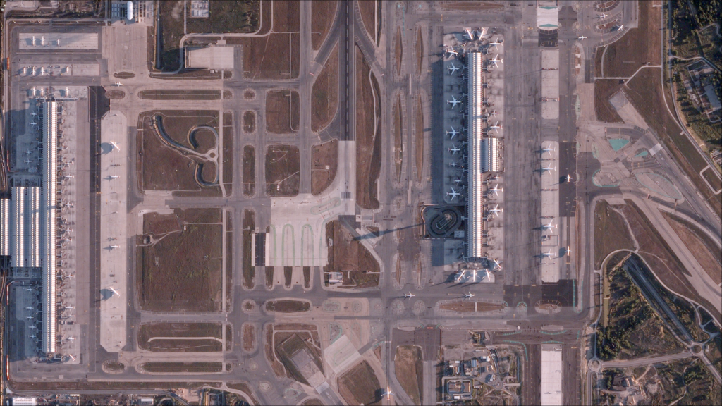
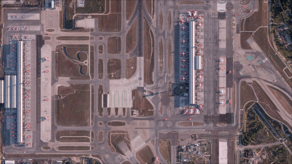
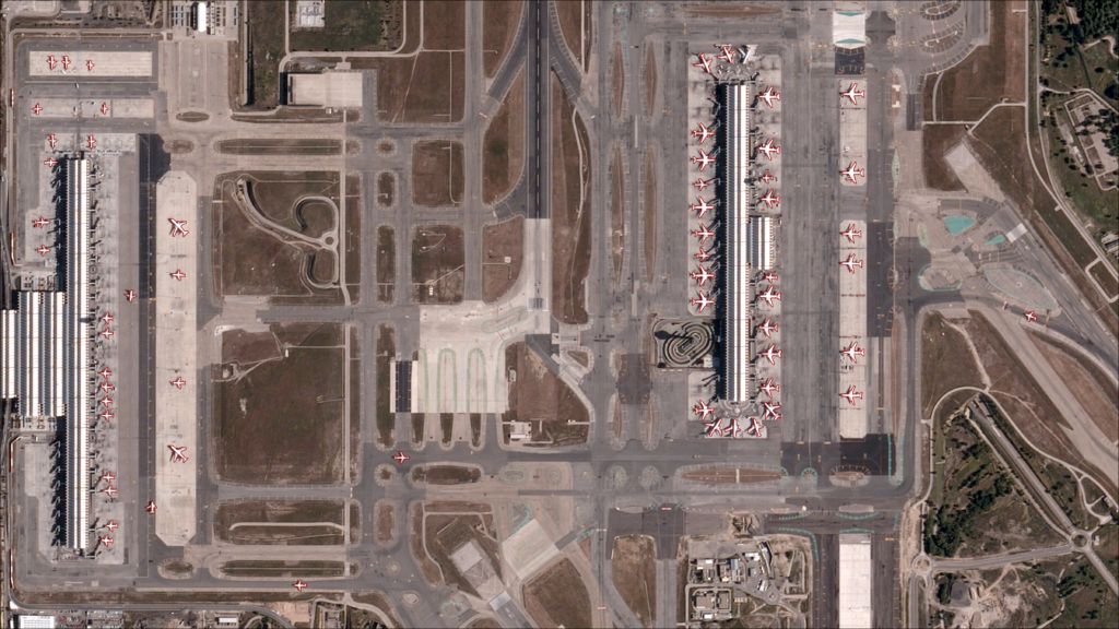
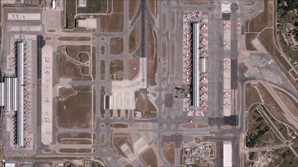
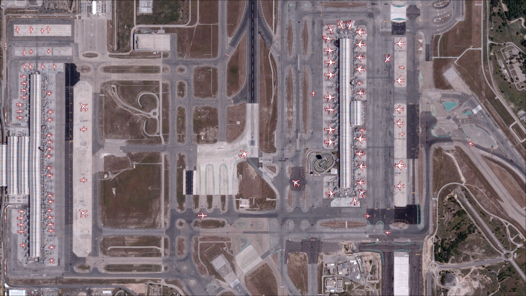
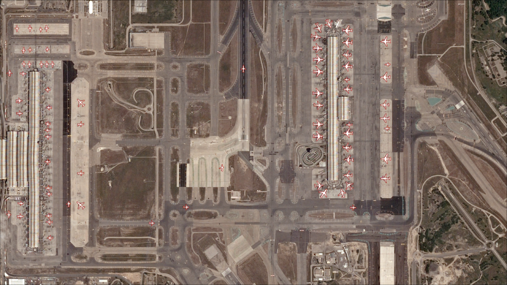
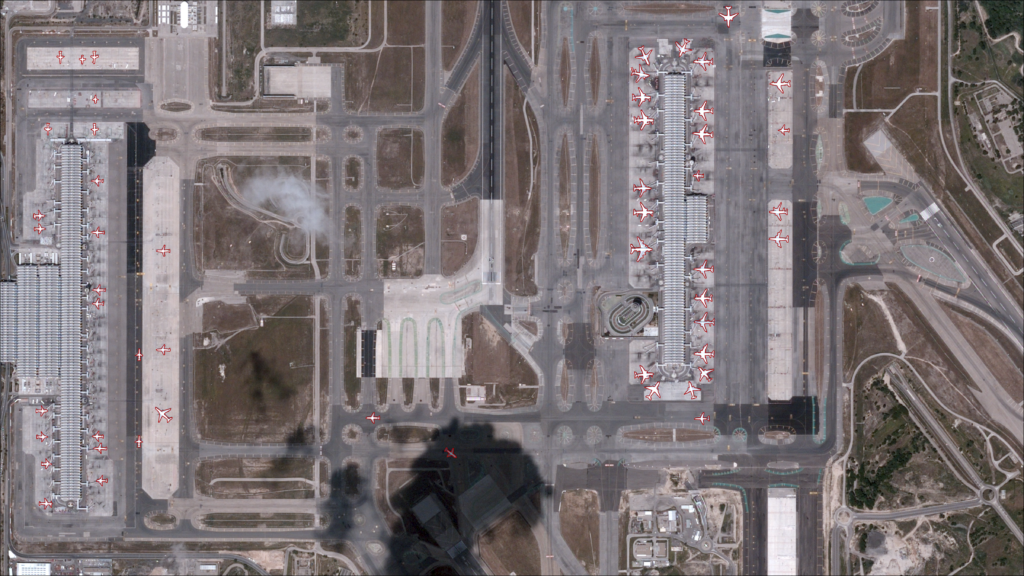
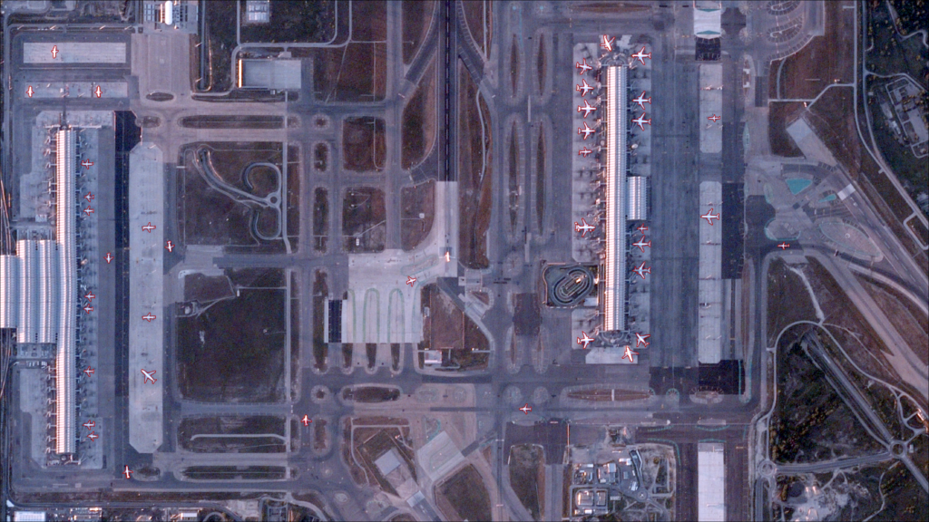

IMAGE
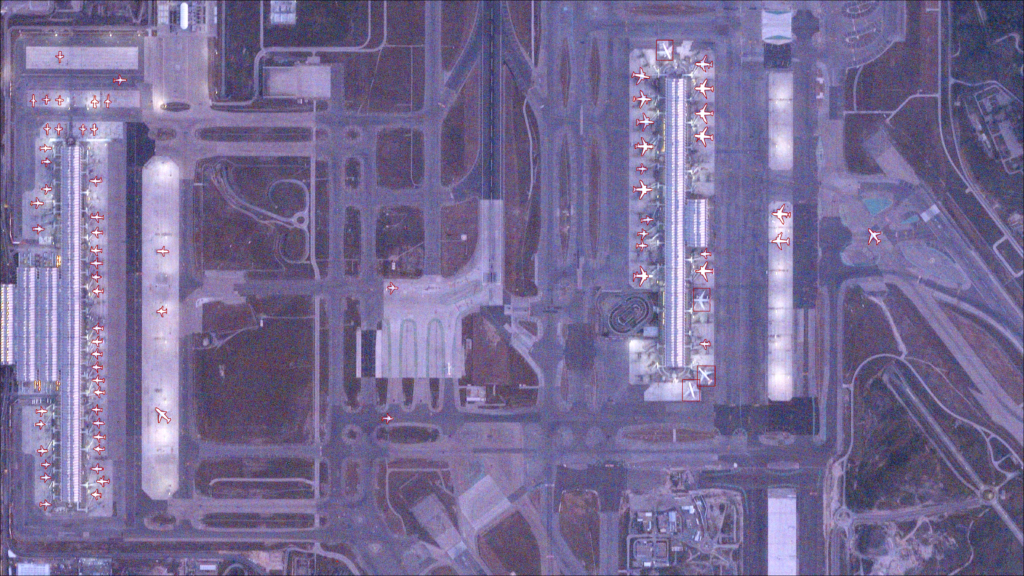
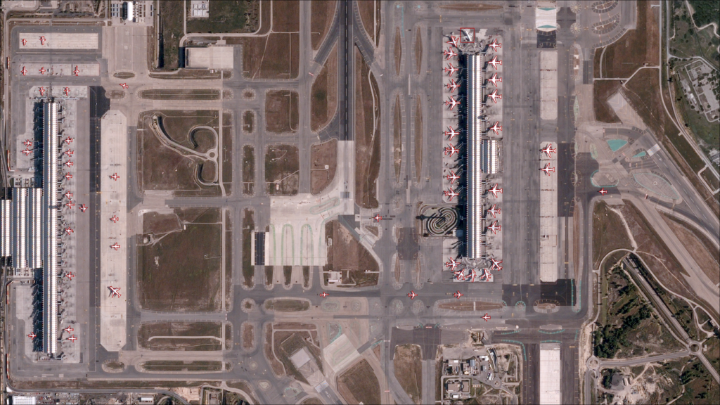
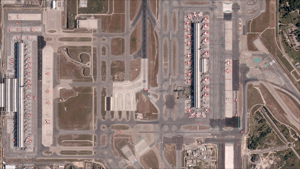
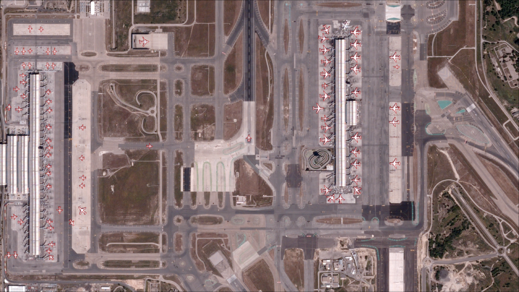
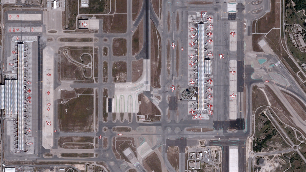
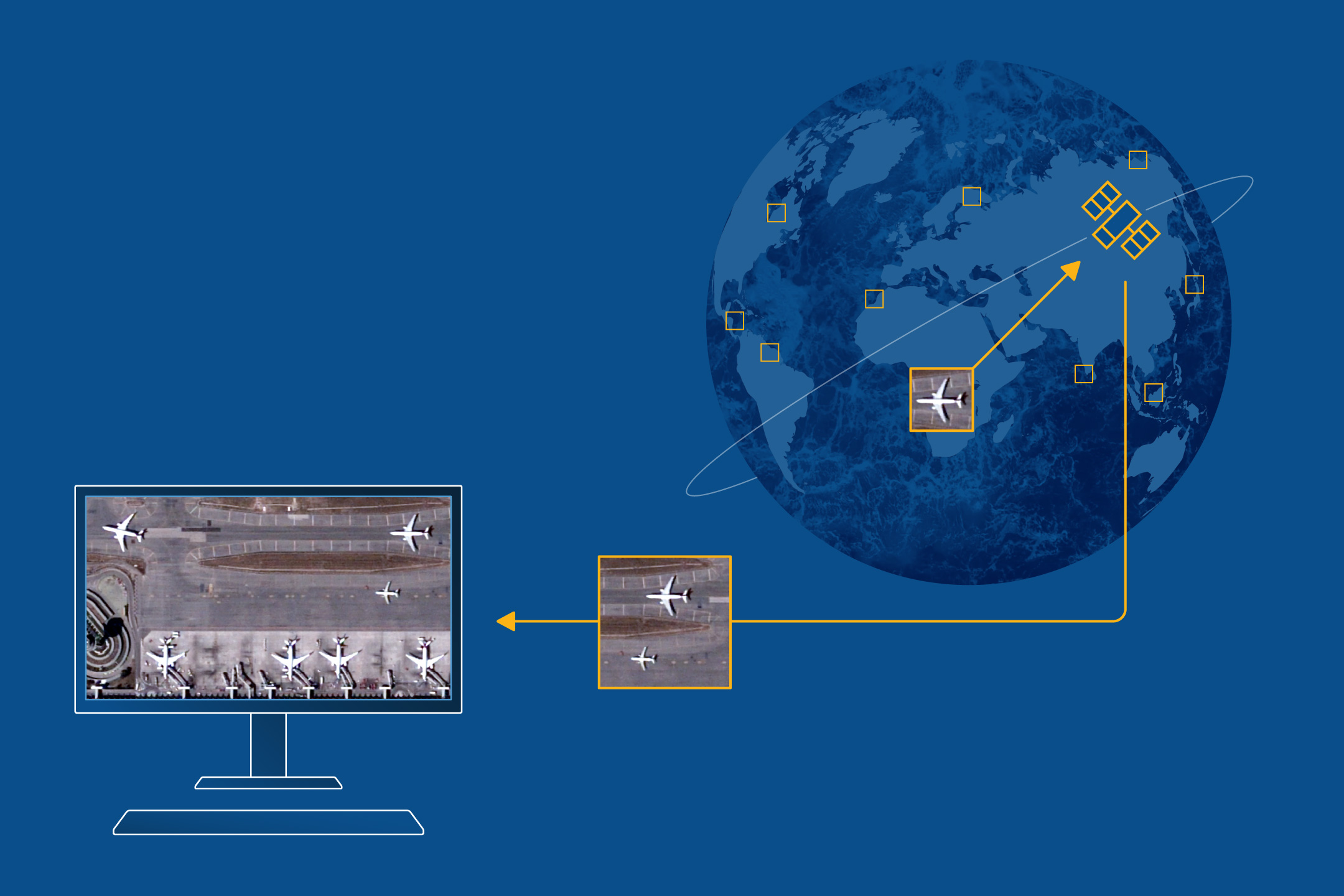
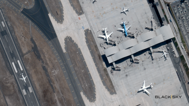
Images from only one or two times of day don’t tell the full story. BlackSky captures and automatically analyzes up to 15 time-diverse images of your location of interest, throughout the day.
Tasked in minutes, delivered with urgency and designed for decisive action.
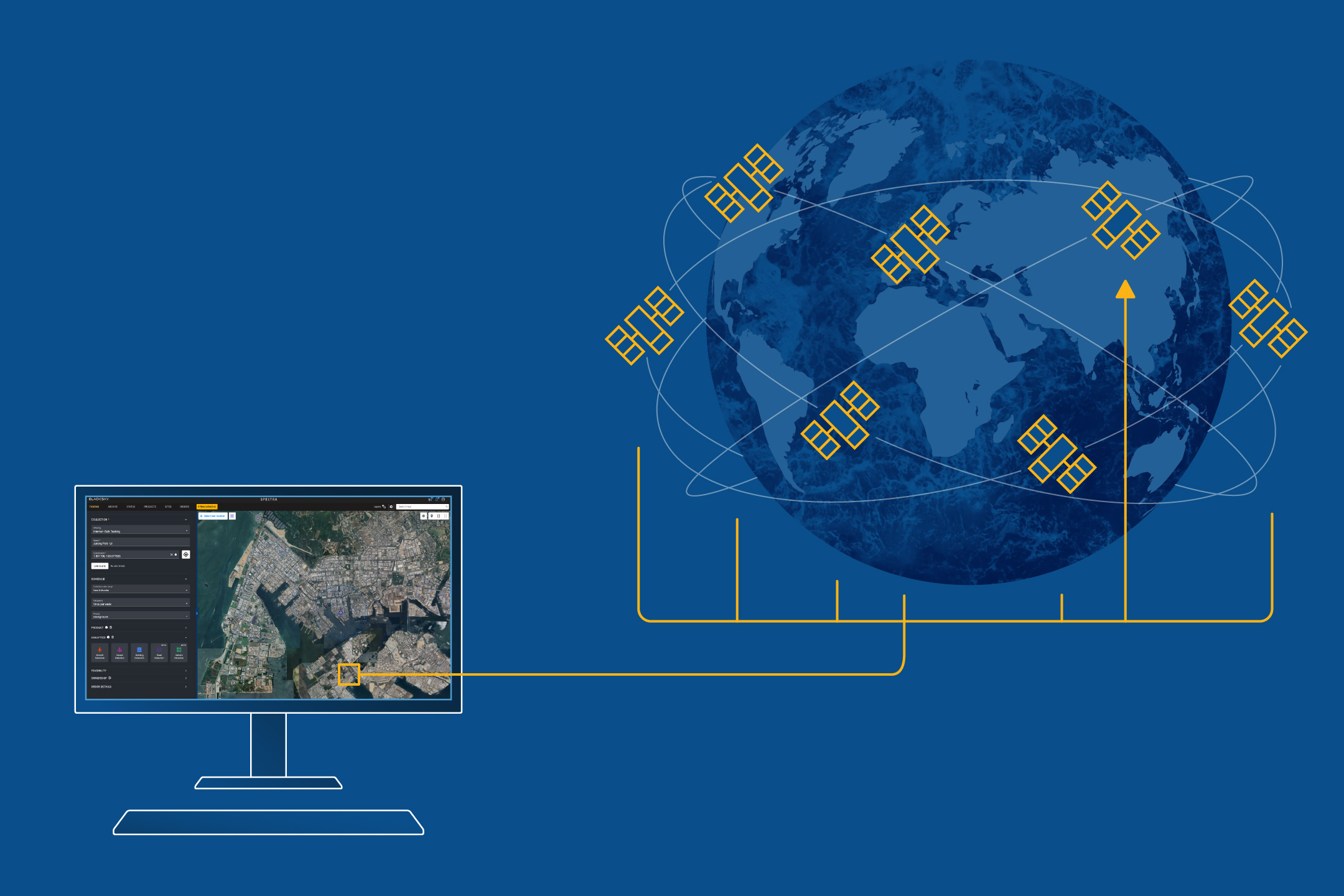
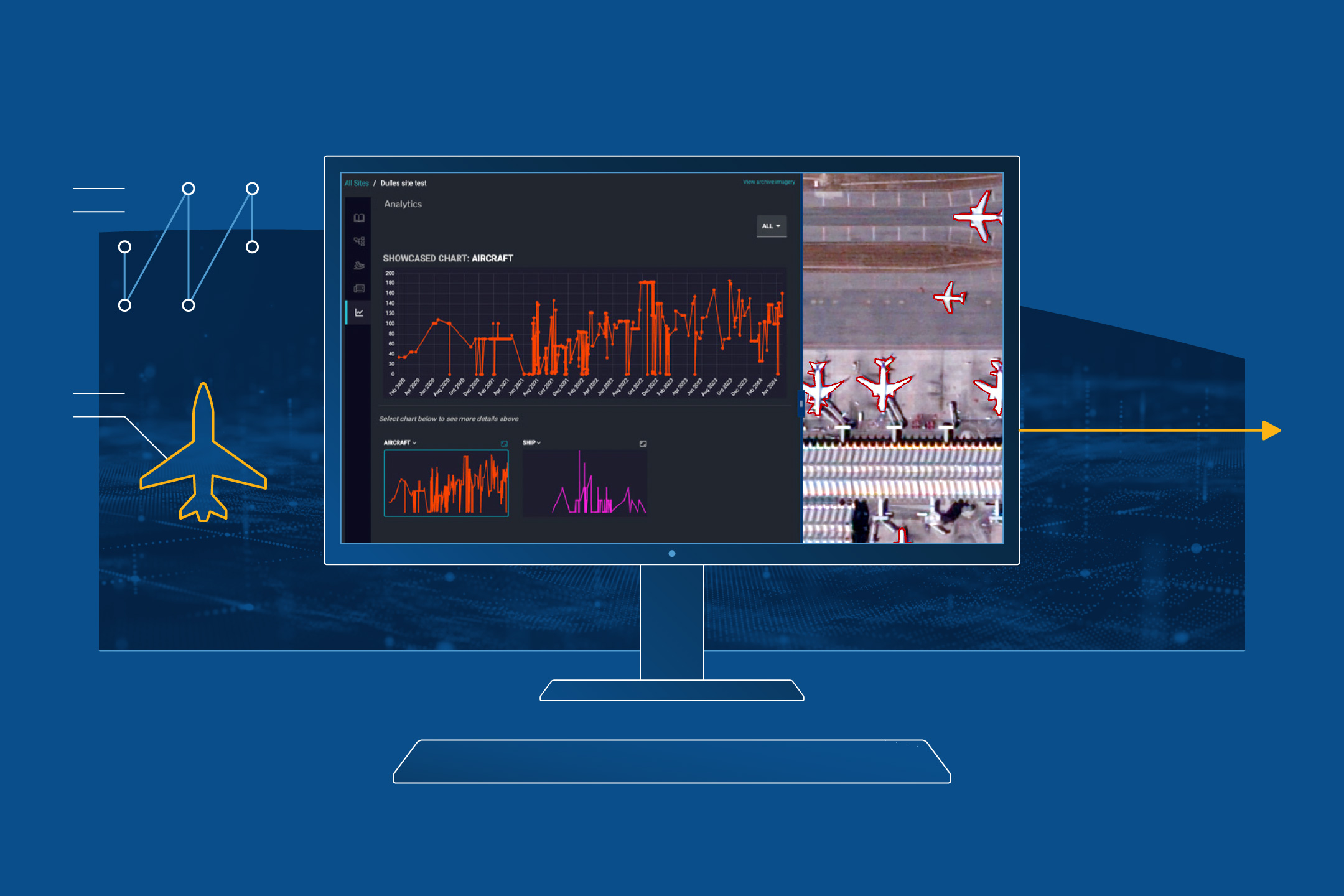
The BlackSky Spectra® platform makes real-time decision-making your new reality.
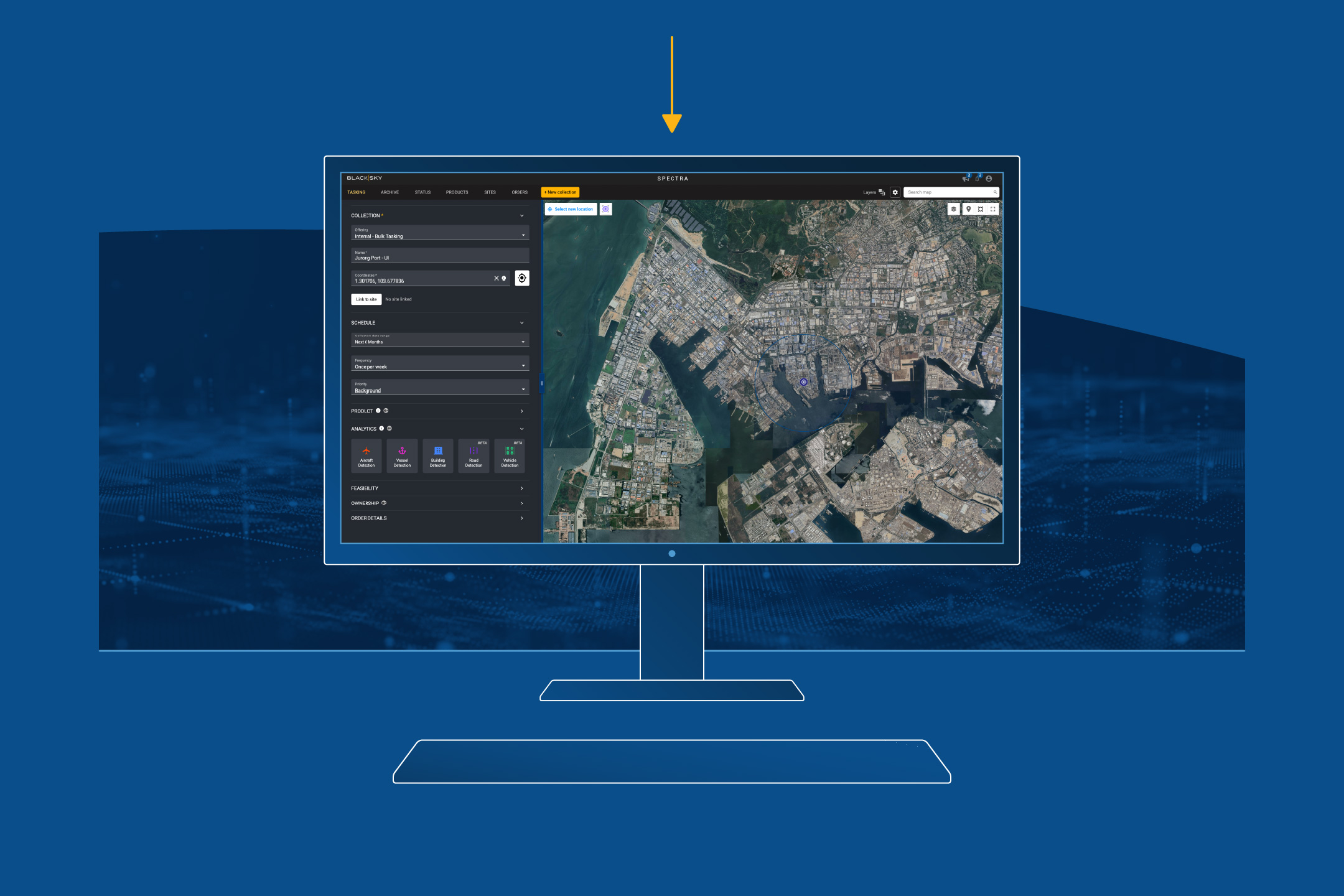
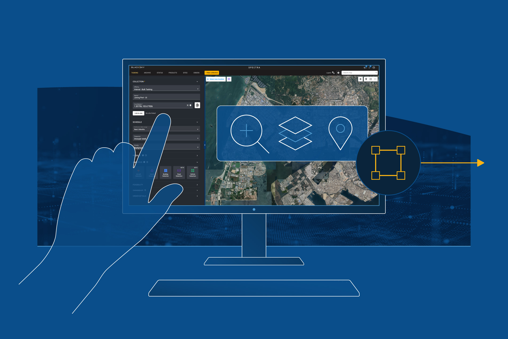
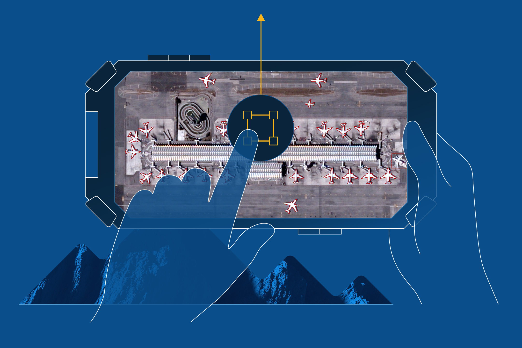
Learn more about the power of BlackSky Spectra:
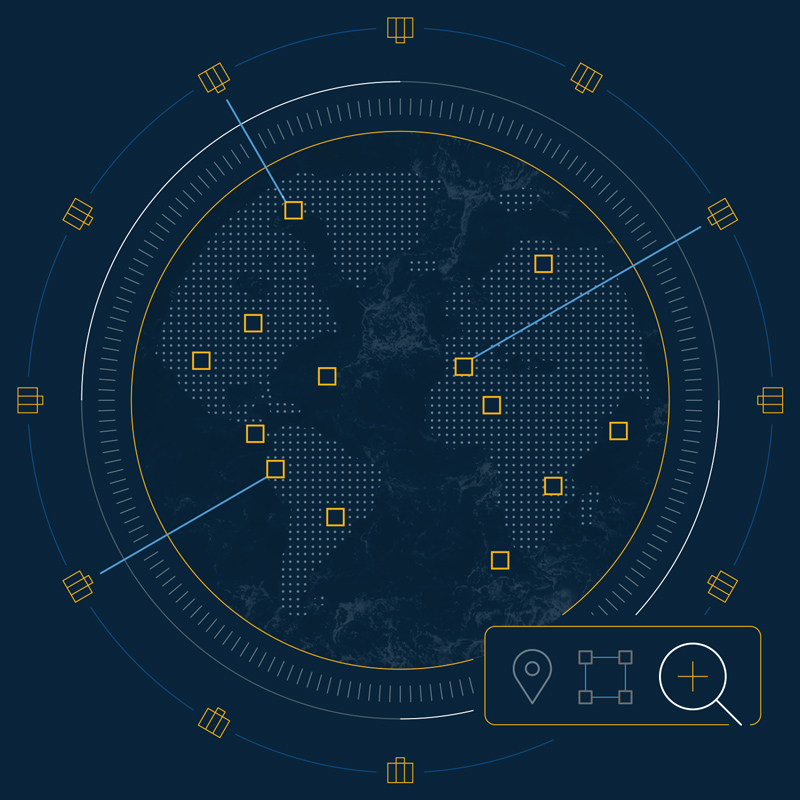
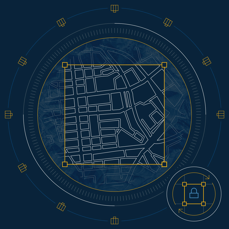
Offerings built to meet you where you operate.
BlackskyON-DEMAND
Flexible, worldwide tasking to gain information advantage, when and where you need it.
BlackskyASSURED
Uncontested tasking capacity for persistent monitoring over your area of responsibility.
Learn how BlackSky can support your mission:
A trusted mission partner to the world’s most demanding organizations.
Leading global organizations depend on BlackSky to deliver timely, trusted intelligence. Powering real-time decisions for top-tier customers, BlackSky supports real-world operations with unmatched speed, scale and reliability.
To join these ranks, schedule a conversation with BlackSky:
March 10, 2026Press release
BlackSky fourth Gen-3 satellite achieves on-orbit first light operations within hours
More of the latest: