Our Pathfinder-1 satellite continues to dazzle us – we’re getting gorgeous daily images, and couldn’t wait to share. Here are just a couple more and some thoughts on the insights they can provide.
Coastline in Australia:
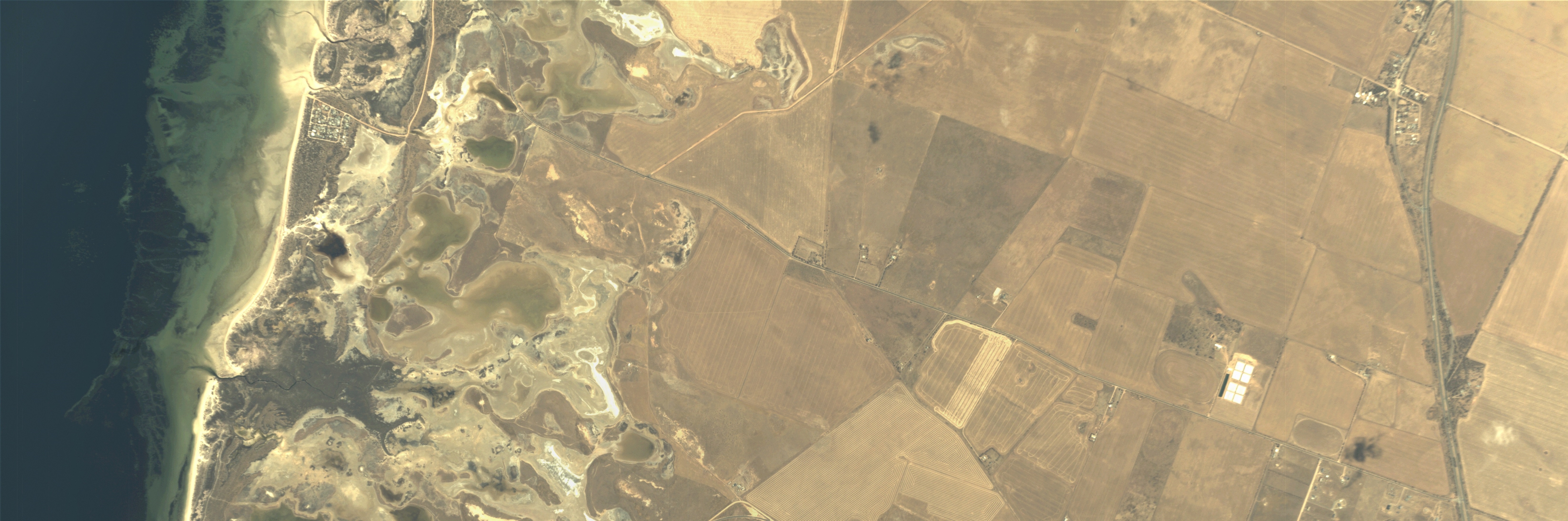
The coast north of Adelaide Australia is experiencing extensive erosion of its fragile, low-lying saltmarsh, called the Samphire Coast. The situation changes rapidly as it is directly affected by land development/use, local weather and especially storm surges. The BlackSky image above highlights this erosion at Webb Beach driven by Baker Creek and the various inlets into the marsh. Through the Samphire Coast Icon Project, Australia is embarking on an major conservation project to save this critical habitat for the unique avian and other species that thrive here. We look forward to supporting this and many other conservation projects around the word with near real-time imagery.
Also of note are the farming tracks in the fields east of the coast. High revisit rate satellite imagery provides a unique opportunity to maximize the efficiency of agriculture operations through the use of precision farming and land condition awareness.
Airport in Asia:

In the BlackSky image above, we can clearly see the level of activity at this airport in Asia. This is a particularly quiet day with no airplanes at the gates or parked vehicles. With our future constellation, we will be able to routinely check in on sporadically active locations like this airport to characterize their activity cycles.
We’re looking forward to sharing more images in the coming weeks. Be sure to follow us on Instagram to see the very latest: @blackskyinc