The energy industry needs a boost when it comes to utilizing geospatial information. Until just recently, the critical content energy companies need has been fragmented and hard to find. Those looking for satellite images of their infrastructure had to use a mix of proprietary software, custom modeling tools, and archaic datasets. While there have been signs of progress over the last half decade, the industry is ripe for innovation.
Let’s take a look at how BlackSky serves the different sectors of the energy industry, particularly oil and gas. At the highest level, here’s how a large oil producer uses geospatial data:
- The Exploration division requires recent imagery as they decide which leases to purchase in a new oilfield. The imagery would serve as a reference for the team to plan ingress and egress, combine with seismic or radar data to determine where to place well heads, and look in on their competitors in the same field to determine where they have active wells.
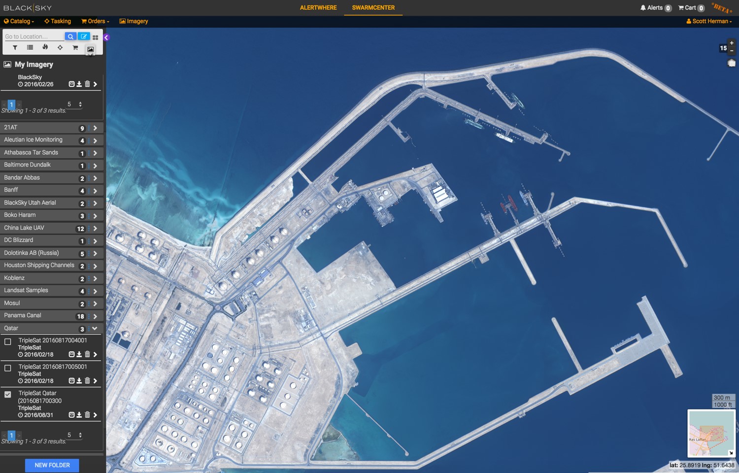
- The Pipeline division uses a high resolution imagery subscription to monitor vegetation encroachment of their pipelines.
- The Retail division of a producer uses online imagery, demographic data and geospatial analytics (traffic analysis, competitor locations) to determine where the most effective location for a new gas station would be.
On a more granular level, the Oil and Gas industry is typically separated into 3 sectors, each with associated challenges and uses of geospatial data:
- Upstream – Exploration and Production, to include site selection, baseline assessments, environmental planning and assessments, well pad/drill site construction, and petroleum extraction.
- Midstream – Transportation of crude oil/natural gas from the wells to processing facilities, to include pipelines, tankers, rail, barge and truck.
- Downstream – Refining of crude oil and processing/refining of natural gas to result in products such as gasoline, diesel fuel, kerosene, and lubricants. We’ll also include gas and power utilities, which serve end customers through public and private utility companies.
Here are examples of how geospatial data is used in each sector:
Well Monitoring and Production Estimates (Upstream)
Satellites with medium resolution can be used to identify active wells and other activity in oil fields. By identifying the active wells in a given field and combining that with past production numbers, a user can generate an accurate assessment of current production of the field, lease, or well. This information would be useful to:
- Oil producers – for determining extraction estimates.
- Competitors – to baseline what competition is doing.
- Investors – to anticipate how the production rate will affect futures prices.
Pipeline Maintenance (Midstream)
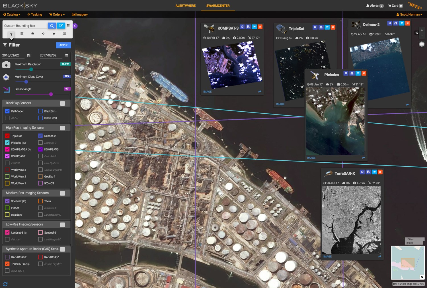
To maintain pipelines, high resolution multispectral imagery (1m or greater) has multiple uses:
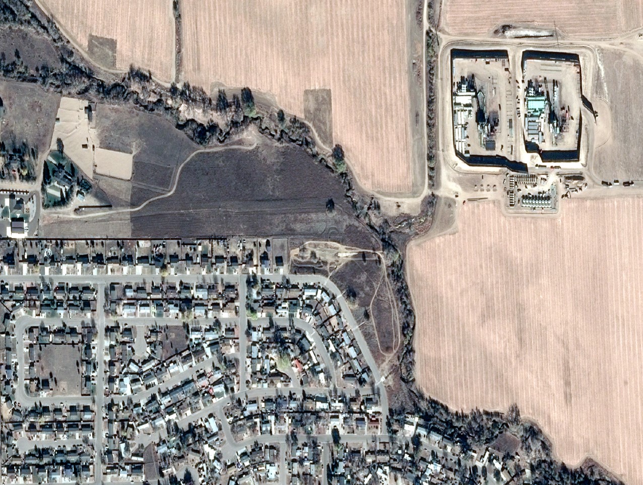
- Historical imagery provides a baseline for what the landscape around the pipeline looked like prior to an event that requires action, such as a repair or maintaining an appropriate buffer around the pipe.
- A monitoring service of new imagery, coupled with automated vegetation analysis, provides an immediate notice of a pipe leak. Analysis of the multispectral bands can show the presence of hydrocarbons on the landscape that would require immediate attention.
- Regular collection of high resolution imagery allow pipeline owners to monitor the required vegetation buffer around above-ground pipes and act to cut back any vegetation that encroaches on the pipeline.
Refinery Site Planning and Security (Downstream)
Building a large refinery and ensuring its security is a large undertaking. Imagery can be used to:
- Provide the new security team with an up-to-date view of their whole facility and allow them to update their safety protocols.
- Help the new owner plan for expansion to include placement of new buildings and refining facilities as well as pipeline and overland shipping connections.
- Provides assurances that they always have the latest view of their plant.
The energy industry is beginning to scratch the surface of how and why to use geospatial data and satellite imagery. We here at BlackSky are excited about the tremendous opportunity to serve this industry.