BlackSky Spectra AI Platform Provides Multimodal Imagery, Analytics, and Strategic Insights for Your Business or Mission
Our industry leading Software-as-a-Service provides customers with a first-to-know advantage by delivering critical insights and timely analysis to support day-to-day decision making.

Multimodal Imagery Now Available

High Resolution
Optical
0.3m to 1.0m resolution

Wide Area
Optical
1.5m resolution

Synthetic Aperture
Radar (SAR)
0.25m to 40m resolution
Analytic Solutions
Fuse satellite imagery and analytics using BlackSky Spectra AI, our proprietary platform, to make sense of complex global geospatial data and gain an up-to-the minute view of the ever-changing world.
BlackSky Detect
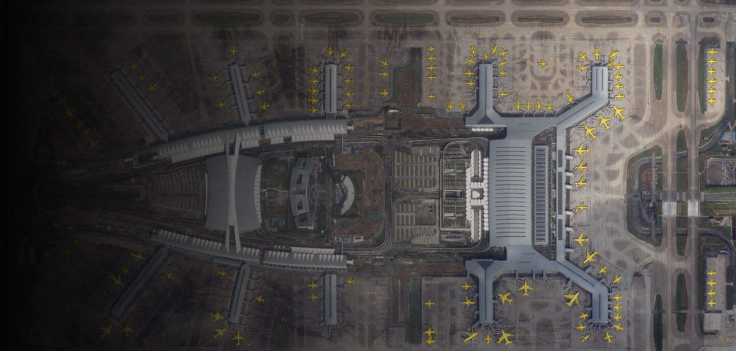
Transform raw imagery products with analytics that detect and classify objects.
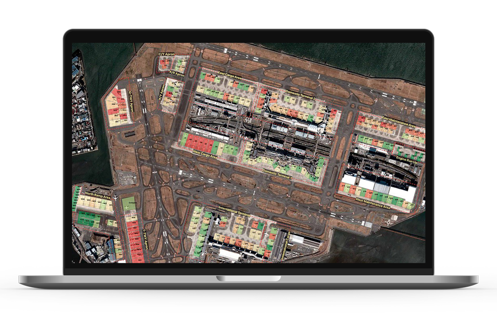
BlackSky Enhanced Site Monitoring
Persistently monitor change by tracking key indicators using satellite imagery and other fused data sources.
BlackSky Detect
BlackSky Detect is a product powered by BlackSky Spectra AI that provides access to analytic data feeds for multiple thematic indicators. Detect utilizes computer vision models to transform raw imagery products into analytic product feeds that detect and classify objects for a variety of use cases. BlackSky Detect leverages the latest techniques in machine learning and artificial Intelligence to perform cost-effective accurate imagery-derived analytics minimizing the need for human analysis and time-consuming imagery exploitation.
- Near real-time analytics that automatically detect objects in images such as ships, airplanes, roads, buildings and vehicles.
- Advanced analytics including change, damage and anomaly detection, along with stockpile analysis.
- Cost-effective and accurate imagery-derived analytics minimizes the need for human analysis by leveraging proprietary machine learning and artificial intelligence algorithms.
- Access via enterprise subscription or individual orders for On-Demand or Assured customers.
BlackSky Enhanced Site Monitoring
Enhanced Site Monitoring is a fully managed and customizable service ideal for monitoring facilities, critical infrastructure, military bases, construction sites, or other AOIs (areas of interest) for indicators of activity and understanding pattern of life. Site Monitoring enables both commercial or government agency customers to monitor dozens of facilities with multimodal imagery without requiring domain expertise. This solution provides affordable access to rapid revisits of our high-resolution satellite imagery with very low latency.
BlackSky Spectra AI-Powered Analysis
BlackSky Enhanced Site Monitoring is augmented with powerful and constantly expanding data sets for a complete view of your location.
Multimodal Imagery
Leverage high resolution imagery, wide area imagery, synthetic aperture radar (SAR), and other data to monitor places that matter to your mission and business. Geographic restrictions and latency limits may apply.
Customized Approach
Tailor projects to address your particular needs.

Airbus Imagery
Now Available
BlackSky and Airbus have partnered to enable organizations to gain geospatial intelligence in more ways than ever. Airbus imagery is available now to BlackSky customers. To learn more about the partnership, read the announcement.

Imagery Solutions
BlackSky offers two imagery services that are simple and powerful. Customers can use “On-Demand“, to task satellites with the explicit purpose of capturing images over any area of interest and the entire process takes just minutes to complete. For larger customers who have specific regions of the globe that need persistent, guaranteed monitoring, they can leverage our “Assured“, program which partitions specific non-contestable capacity for mission-critical needs.
BlackSky On-Demand
A subscription service with flexible access to satellite imagery and ad-hoc image tasking.
BlackSky Assured
Pre-selected dedicated image collection capacity coupled with on-demand tasking and priority guarantees.
BlackSky On-Demand
Fast, flexible, and affordable access to the BlackSky constellation that will fit your specific needs. Through On-Demand, you also can access BlackSky analytics like Detect, Events and Site Monitoring.
Dawn-to-Dusk Monitoring
Ability to task the constellation during all daylight hours.
Customizable Priority Levels
Increase priority tasking to monitor critical events.
Instant Retrieval
Low latency image delivery and the ability to manage your own dossier images and analytics.
Intuitive Interface
Using your laptop or smartphone – just point and click.
Virtual Constellation
Integrated marketplace for third-party imaging including optical and SAR satellites.
BlackSky Assured
All the advantages of a full constellation with BlackSky Spectra AI-powered analysis over specific areas of interest – whether you have time-critical needs or require persistent capacity.
- Supports highly predictable and persistent imagery needs
- Capacity assurance
- Imagery tasking that cannot be pre-empted
- Includes all on-demand features
- Service level agreements
- Access to Detect, Events and Site Monitoring
BlackSky Archive
BlackSky’s Image Archive enables customers to discover, purchase, and download archive imagery from our catalog. All customers get additional access to our global network of constellation providers including; KOMPSAT, Landsat, Sentinel, TripleSat, and GeoSat.
This product is excellent value for customers who need large land area coverage, collection density optionality, and a combination of imagery scene types.
Ordering is simple, fast, and on-demand.
BlackSky Events
Access to millions of events occurring throughout the world with multi-source, multi-phenomenology event detection including:
Maximizing Data Sources
Through the fusion of multiple data sources, including news, IoT sensors, RSS feeds, and geolocation, BlackSky can detect and track activity around the globe creating contextual data.
Leveraging AI & Natural Language Processing
As events occur, BlackSky Spectra AI filters and sifts many different data feeds using natural language processing to generate highly relevant customer alerts for each type of event based on topics customers choose in real-time.
Tip and Cue
Once matching events are identified they can be automatically tipped and cued for our constellation to capture imagery. This system provides images without a person needing to task the satellites in real-time and as events happen. Low latency equals faster access to actionable data.

